GREAT DIVIDE TRAIL - Section A
Krysta starts the GDT by hiking the southernmost 104 km section of trail. She starts alone and faces many challenges and many incredible moments.
Distance: 104 km
Days: 5 days
Dates: July 21-25, 2020
Hiker(s): Krysta Norwick
Section A of the Great Divide Trail
DAY 1: 18 km
Red Rock Canyon to Sage Pass
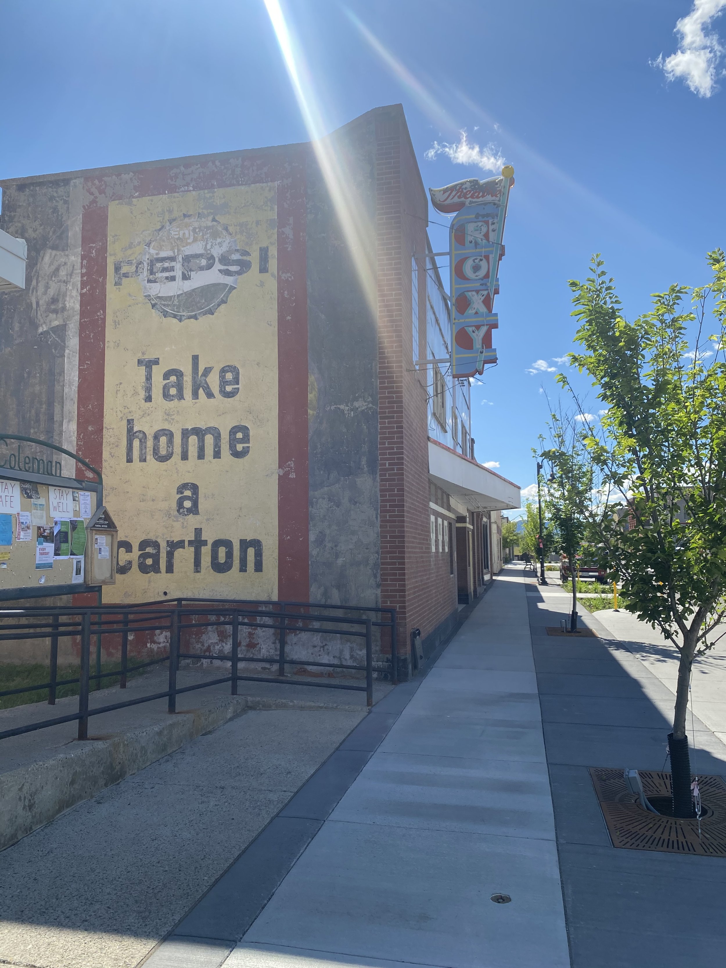
Upon arrival in Coleman, Brian and I received the news that the first section of the GDT is closed. Back in 2017 a big wildfire burned through the area. The park is still working on rebuilding the Akamina Parkway and there was active construction still this summer.
This meant that I had to skip the first ~20 km of the GDT because the Akamina Trail was closed. This closure meant that it cut an entire day off my hike. Brian and I decided to stay in Waterton for one extra evening to spend time together.
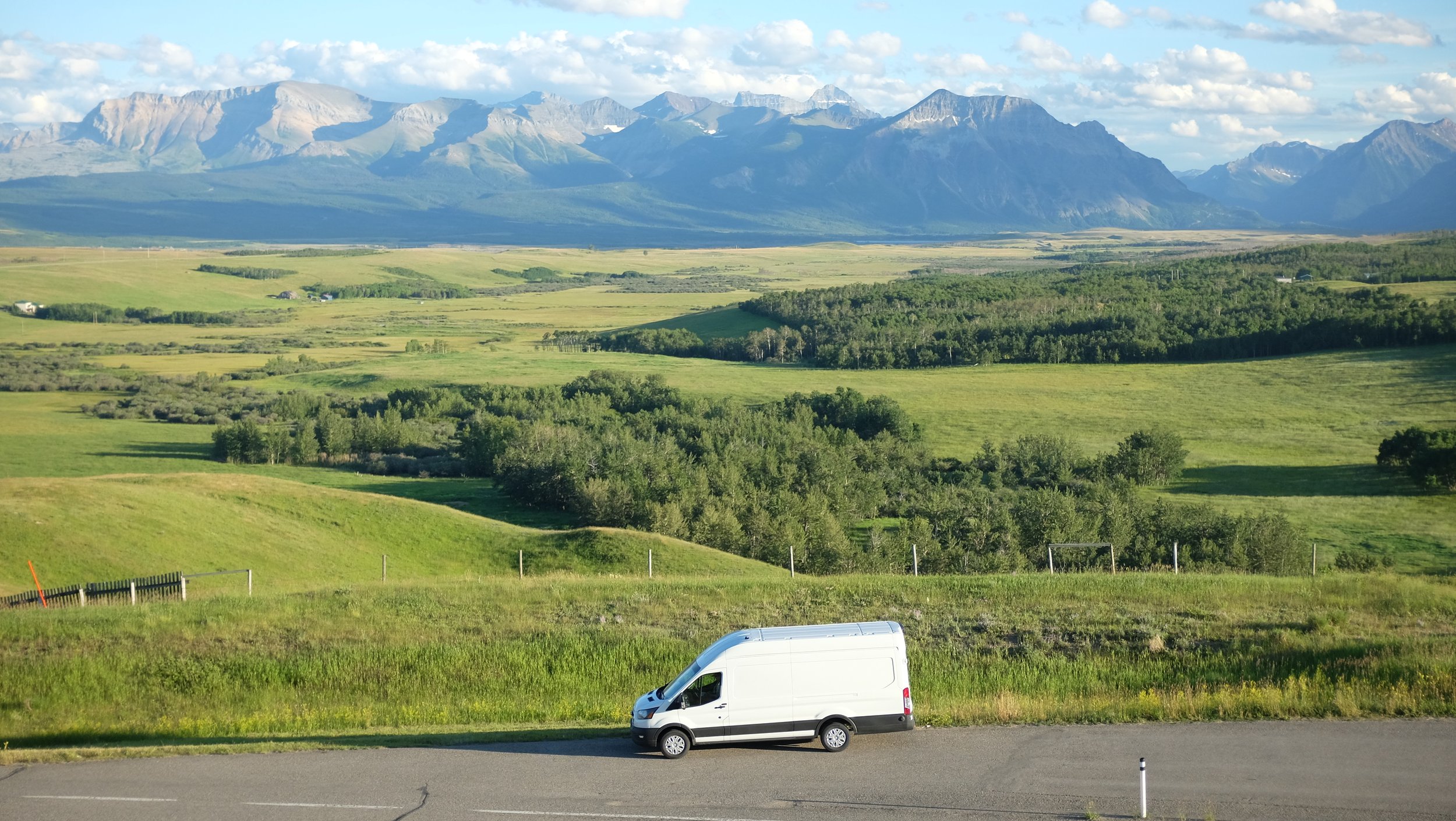
The van near Waterton Lakes
We camped in Waterton in the van and then Brian drove me to Red Rock Canyon, the alternative starting position for the GDT this year. This meant that I had to hike ~8 km on the Anderson Peak Route.

Red Rock Canyon Parking Lot

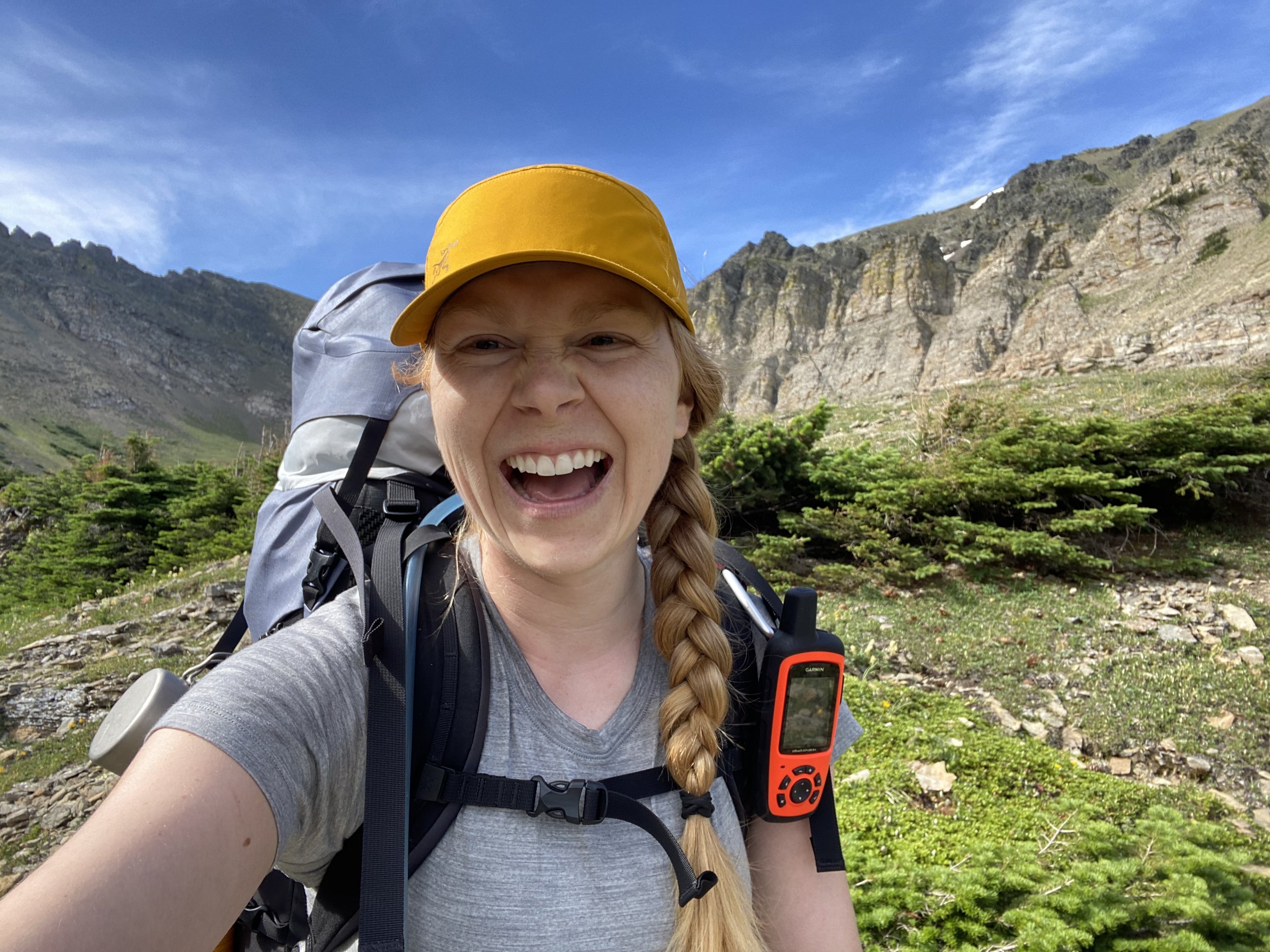
Starting the Great Divide Trail with a heavy pack!
The trail starts at the Red Rock Canyon parking lot. I followed the Blakistin Falls Trail (you will cross one stream and then hike on the right-hand side of the river). The falls have a nice man-made viewing point. The trail to twin lakes continues West. Most of the day is gentle climbing through the river valley of burned trees. After about 8 km, the route joins the regular GDT route and I made a right on the Tamarack Trail and head towards Twin Lakes.
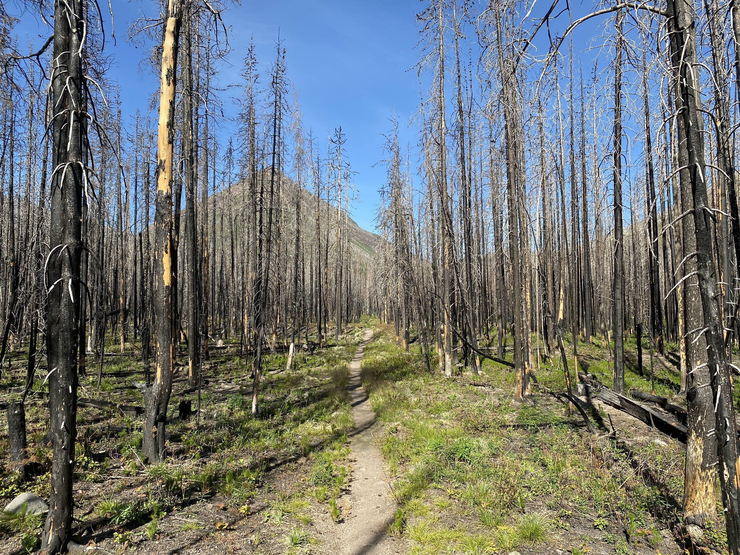
Blakistin Falls Trail
A bear had been approaching people in the area and although the trail had been opened again, I wasn’t sure if the bear was still around. I called our frequently. I found out once I arrived in Coleman that the rangers had euthanized the bear.
I completed a short climb through a stunning alpine bowl and then dropped down to twin lakes. I filled up water here and then made the final climb up to Sage Pass. It was about 150m of switchbacks and relatively easy climbing. This entire pass is burnt and dry. There was no visible water source immediately once gaining the pass, so I kept walking in an attempt to find one. About halfway along the pass I noticed some greener foliage and followed it ~100m off trail to find a small bubbling stream. I would recommend this as the best camp spot on the pass. I was careful to set my tree up in a clearing with the lowest probability of a dead tree falling on me.

The view above Twin Lakes
I honestly always thought I would be that purist. That if I missed a part of the trail I wouldn’t think it was good enough or that it “counted”. This made me question a bit if I was making the right decision by skipping the first section. Brian reminded me that the trail was closed. I couldn’t have hiked it if I wanted to.
I cried multiple times today as I walked away from my husband Brian. I know this is what I want and need, but that doesn’t make leaving Brian any easier. He is my favorite person and I will miss him every day.
DAY 2: 15 km on the GDT
Sage Pass to Jutland Creek
I slept deeply near the bubbling stream. I needed it. I was absolutely exhausted from the emotions, heat and lonely ache of day one.
The sun was already up and I knew the heat was coming. I started off with a climb to the saddle above Sage Pass. It was straightforward and quick since it was still cool. Font Mountain Ridge was breathtaking. This was by far my highlight of the day with mountain ranges on either side. I then hiked through an alpine meadow with wildflowers in full bloom. Phenomenal.

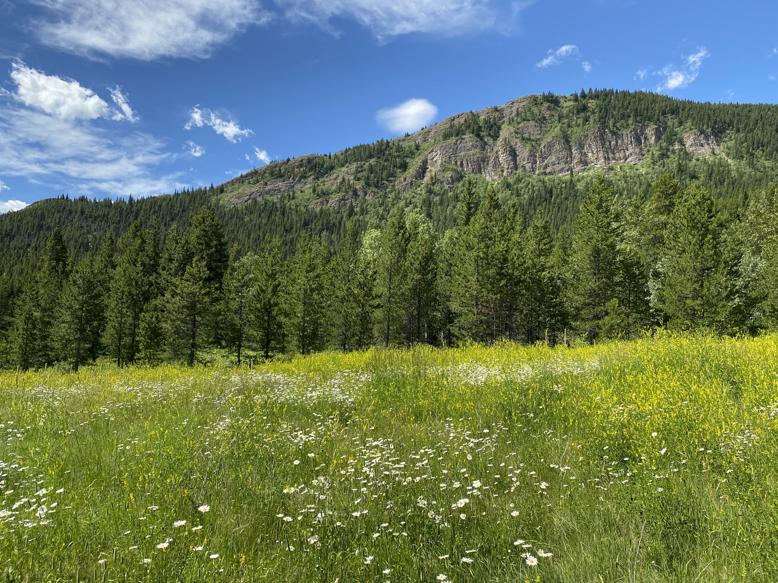
Beautiful alpine meadow.
After my ridge walk, I dropped down into an alpine bowl of Font Mountain. Again, this was beautiful. Some steeper sections that I was happy I had poles for. Just before gaining the saddle between Font Mountain and Mount Matkin there was an excellent stream for water..
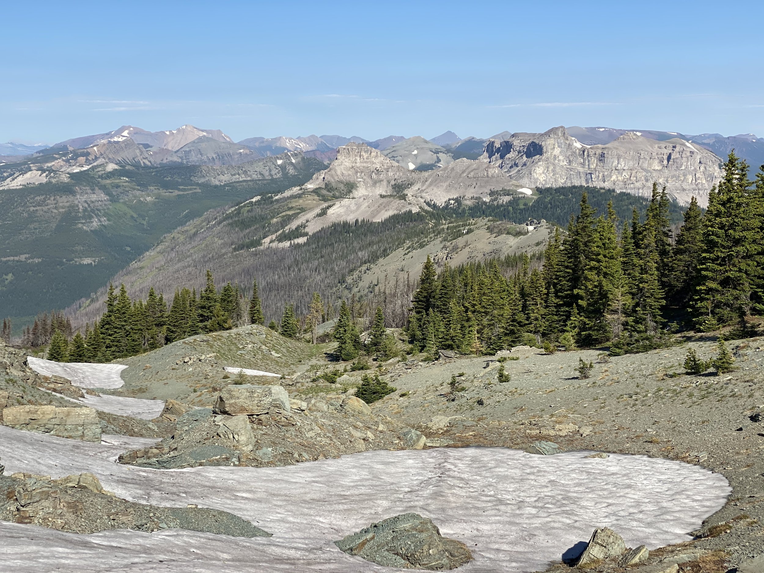
Very small patches of snow I hiked over today.
It was nice and cruisey (undulating) tree hiking to the South of Mount Matkin. There was another water source somewhere along the way here, as I filled up a Nagle. If continuing to hike further, I would recommend filling up completely at this stream, as Jutland Creek was dry.
I gained over two more relatively short saddles and then made the drop down towards Jutland Creek. There is a minimal ascent up to the flat camping area. There are many spots to pitch a tent and bear hand here.
There was a sign written in rocks and sticks on the ground indicating the water source. All I found was a tiny murky puddle. I wandered around Jutland Creek area for quite some time looking for more water and found nothing.

The small water source I was able to extract 4L from using my MSR hand pump.
I returned to the tiny puddle and noticed a crack in the rocks. I was able to drop the tube of my purifier down between the rocks into an underground puddle. Success!! I filled everything and then headed back to the flats to make camp. If you don’t have a pump, this water source would have been impossible to use. It was also dried up by the next morning. If hiking July 21 or later, plan for Jutland Creek to be dry. Like I said earlier, if you filled up a few km ago you would be okay. The ridge ahead is also dry, so plan accordingly.
DAY 3:
22 km and 2,100 vertical meters ascent.
Hiked up to La Coulette Peak along the ridge and then dropped onto the Barnaby Ridge alternate all the way to Southfork Lakes.
The creek was completely dry this morning. I only got 200 mL out of it. Knowing today would be tough, I got ready quickly and started climbing early. The start of the day was bushwhacking as no trail was visible. I followed the GPS track on Gaia and gained La Coulette Ridge by putting in my own switchbacks. It took some time to eventually gain the ridge. The wind was blowing on the ridge and I was already feeling tired.

Taken from La Coulette Ridge
I climbed the ridge towards its summit. There were a few sections that required scrambling and the added factor of the wind made me feel very exposed. The going was slow. It wasn’t until 11:30 a.m. that I finally reached the summit of La Coulette.
I was feeling stressed by the exposure on the ridge. This stress was emphasized by an inReach outage. Only some of my messages were getting through!

Me smiling at the summit of La Coulette, but actually feeling quite terrified.
I had to make a decision at the summit, continue with Barnaby Ridge alternate as planned or follow the main trail. Considering how tough La Coulette Ridge was, I wasn’t feeling confident about staying on the ridge and completing the Barnaby Ridge alternate. However, with downed communications I didn’t want to stray from my itinerary in case something happened to me. I knew it would be much harder for me to be located if I strayed from my original plan. I decided it would be best if I stuck to the original plan and travel along Barnaby Ridge.
Dropping down off La Coulette Peak was gnarly. I was exposed while scrambling off the North side for about 20 vertical meters. I was relieved when I got down onto the broader ridge. Some sections of Barnaby are broad and quick traveling, while others are sharp exposed scrambling that is not for the inexperienced hiker.
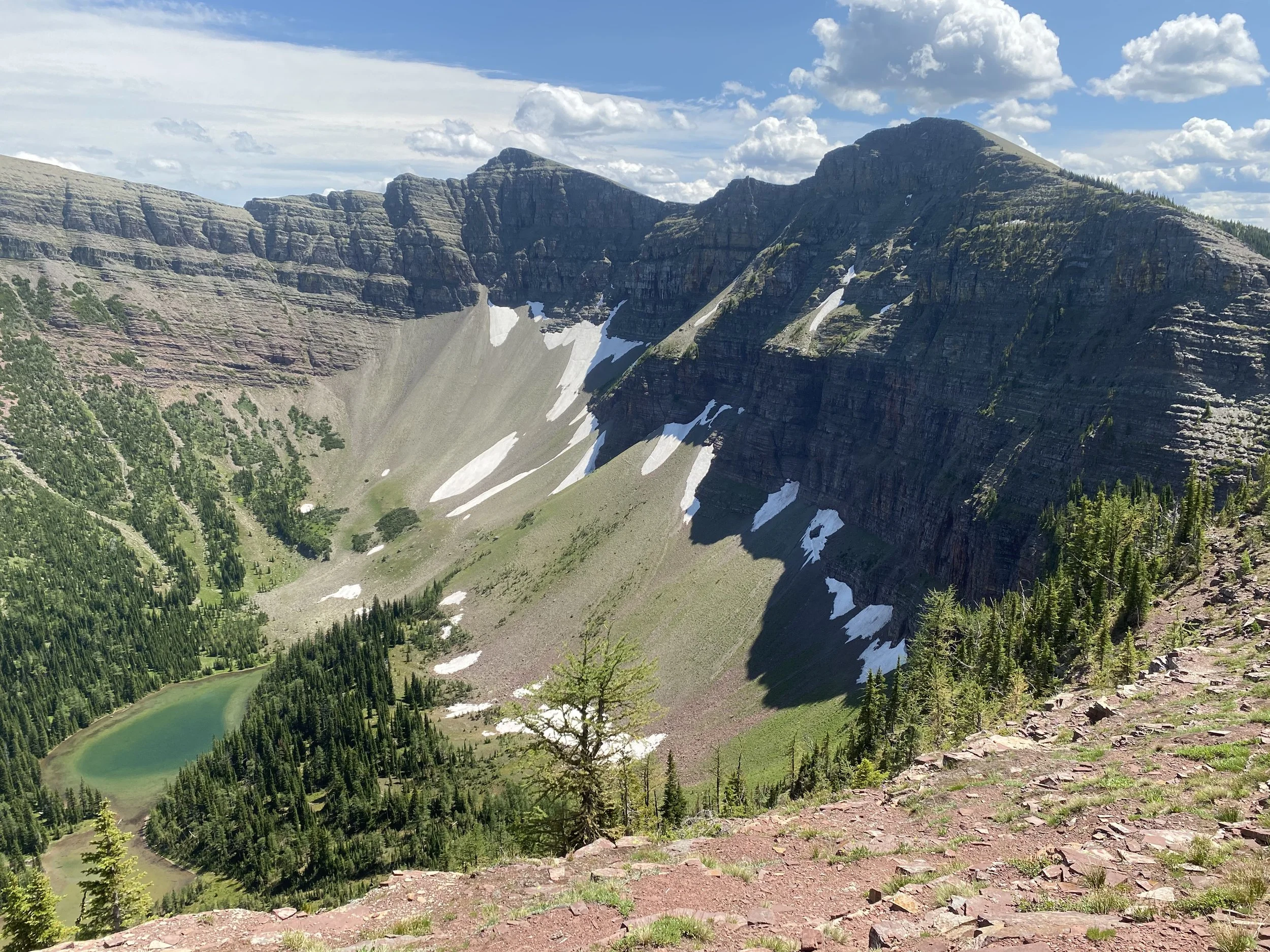
The view of Grizzly Lake from Barnaby Ridge is stunning.
About halfway along the ridge you drop low enough to be in the trees again. This section is a rough bushwhack that makes it difficult to navigate. You begin climbing the ridge again, still in the trees. Once you leave treeline you will be on more open ridge for the rest of the hike.
In between some scrambling you have to navigate on loose scree. I have to admit, even with the experience I have, I was scared and exposed for most of the day.

View from just below the summit of Barnaby Ridge.
When I finally reached Barnaby summit, I knew I didn’t have much further to push. I made excellent time as I dropped down into the broad green saddle between Barnaby and Southfork Mountain. I jogged this section. The climb to Southfork was tiring, but not technical. I was super relieved. The sun was about to set when I reached the summit. I almost cried tears of happiness.
I made a slow and steady drop down to the lake. The first natural drainage looks tempting, but you get cliffed out. Take the second natural drainage, a bit later than you expect based on the GPS and you will have a slightly less technical drop.

The view of Southfork Lakes from halfway down off Southfork Mountain.
Almost at the lakes, I hiked across a 50 m wide snow patch and then dropped through the thin trees to Southfork Lake. I tried going along the South shore of the Southernmost lake but couldn’t find a spot to cross the river. The West side of the river had no good bear hangs. Despite my extreme thirst, fatigue and hunger, I hiked around the South shore of North Southfork Lake and found an established camp spot with lots of tall trees and good bear hangs. If you ever go, I’m sorry that I drank almost all the lake. Just kidding, but I did absolutely chug water!
DAY 4: 20 km
Southfork Lakes to Lynx Creek Campground
After a slow morning, I hiked around the rim of Southfork Lakes and down to Barnaby Lake. I saw my first humans in 3 days and it was SO nice!
Me at Southfork Lake.
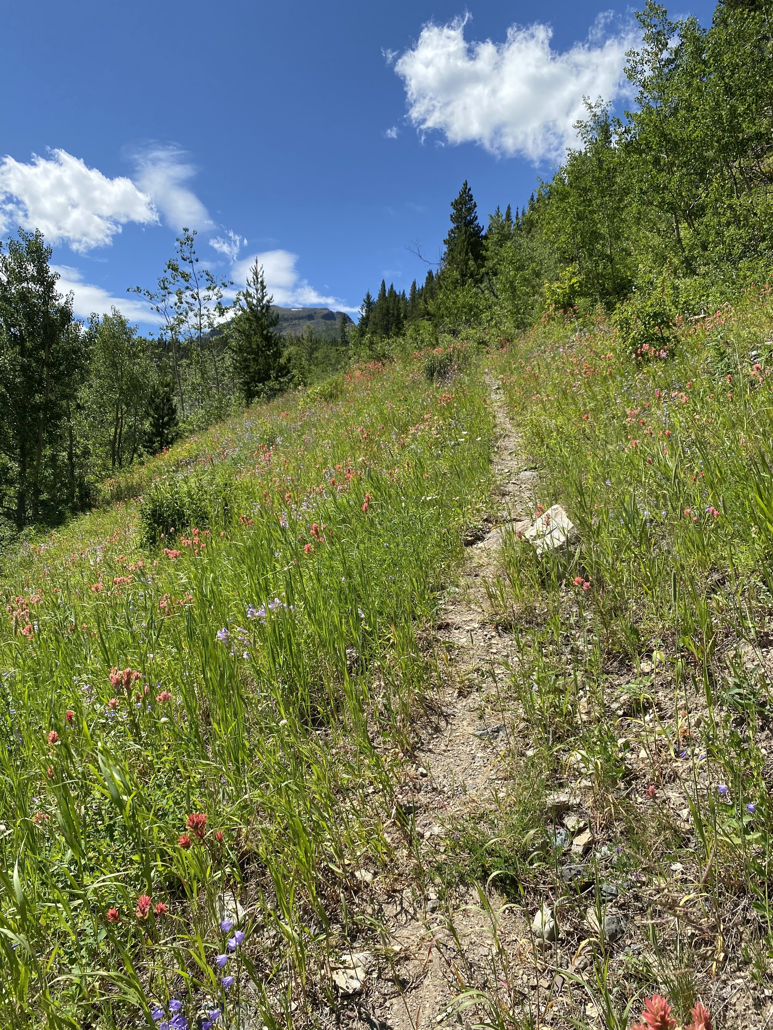
The drop was steady, with great switchbacks and stunning mountains vistas along the way. I was floored by the beauty of the alpine flowers blooming juxtaposed by the towering mountain cathedrals.
Once down in the valley, I joined the highway for about 1 km of road walking North. The trailhead is not marked, but in following my Gaia I was able to locate it. A bit of tricky navigating (GPS track wasn’t always accurate) through the ATV tracks until finally I spotted the first GDT emblem!! I walked through a beautiful grassy and flowery meadow and come across the emblem!!

Me in front of my first GDT emblem.
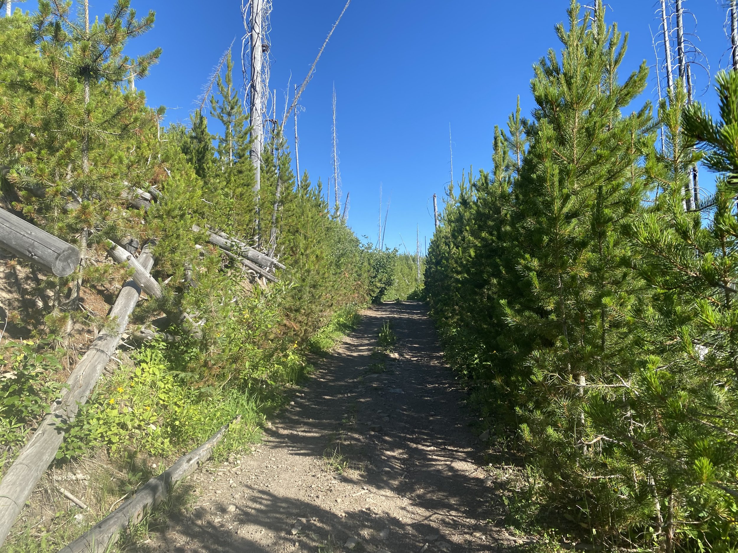
After the emblem, I completed a grueling climb in the heat and moved slowly from being tuckered out from yesterday. The views helped motivate me with the wildflowers in full bloom and the peaks showing off. Once I gained the ridge, it was old logging road walking for the rest of the day. It seemed like prime bear country, so I was noisy the entire time. Mentally the push along the road was tough, as the lack of change in cadence of the stride tends to cause blisters to form quickly.

The Great Divide Trail emblem halfway up the hot climb.
My feet were tired and raw, but I eventually ignored it and focused on my thoughts. I eventually made it to Lynx Creek Campground, which is a car campground and it was full. In this area you are allowed to random camp along the road. There are signs depicting the area you are allowed to camp in for free, you just need to register.
Everywhere looked exposed, visible by the road or vulnerable. I broke down, wishing my husband were there to protect me. I felt much more scared being around car campers I didn’t know than I did camping alone in the backcountry.

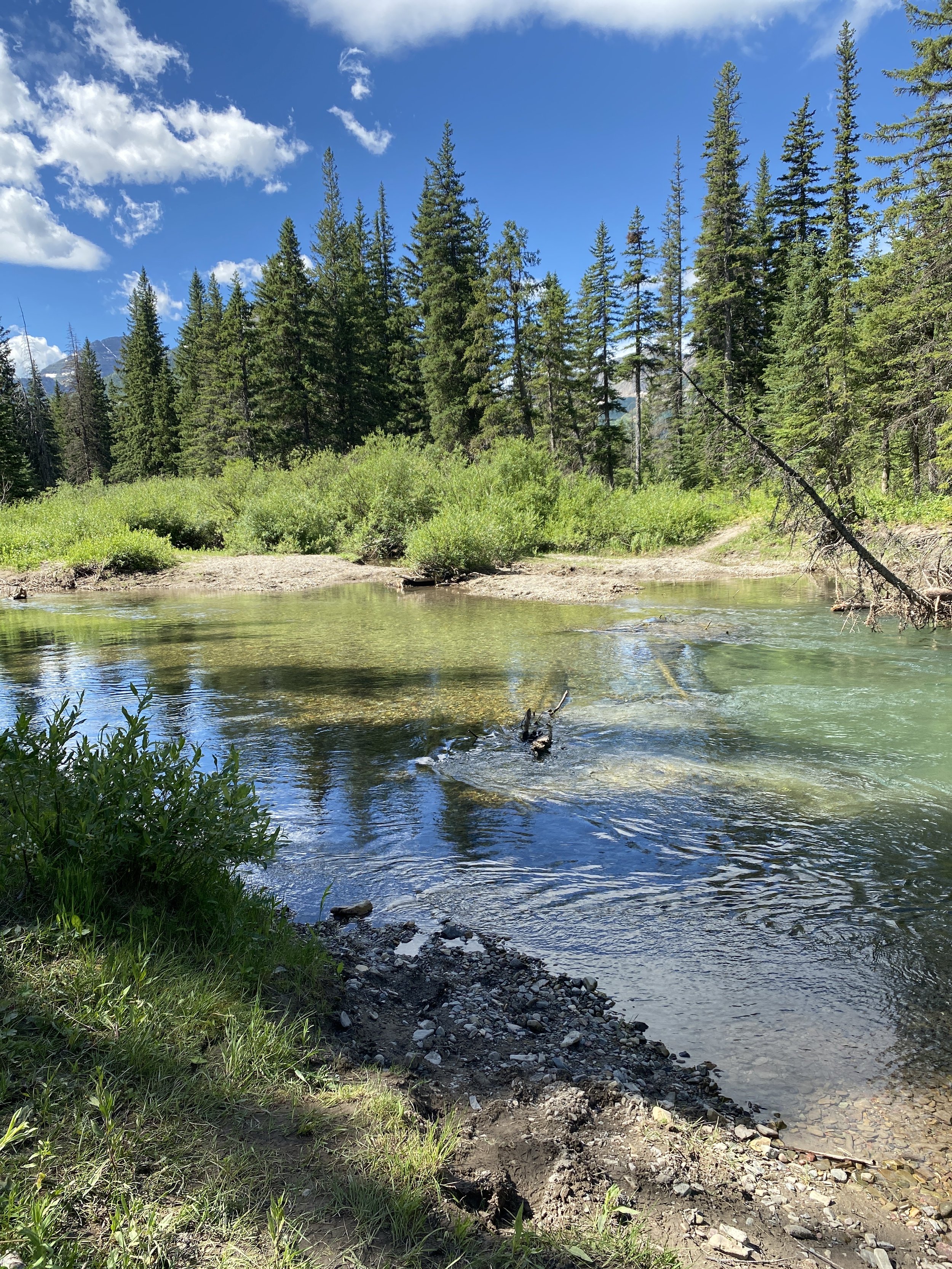
My hidden camp spot I found by the river.
I eventually mustered up strength and courage and found myself a little hidden spot by the river. I had a scared and restless sleep.
DAY 5: 32 km
Lynx Creek Campground to ‘A Safe Haven B&B’ in Coleman
Eager for a shower and town food, I hit the trail without eating or making coffee. I hiked a couple kms on the road and then turned right onto the old ATV track that the GDT utilizes. The track gained Willoby Ridge, which surprisingly had epic mountain views! The trail then dropped back down into the valley where I had a nice lunch break by the bridge that crosses Lynx Creek.

The beautiful mountain views from Willoby Ridge.
The trail then gained slightly on another ATV track and levelled out. For the next few km the track was rough and also looked like a river at one point!
I started to run into Saturday ATVers and really enjoyed running into them and chatting. They all couldn’t believe I was hiking along with a big pack! I also liked that the noise they were making might have been scaring the bears off.

Another mountain view from the ATV track.
Eventually the ATV track led to a logging road which was easy to follow along down to town. The mosquitoes got really bad as soon as I was 2 km from town. I followed the GPS to walk through the old streets of Coleman, up to the Crowsnest Highway and then to A Safe Haven B&B.
I was beyond stoked to shower, do laundry and eat home cooked meals!
DAY 6: 0 km
Lots of resting.
Rest, eat, shop, shower. I would highly recommend a stay at Safe Haven B&B. The hosts cook 3 square meals a day for hikers. It is a great place for those with environmental allergies, as they keep the place super clean and smelling like nothing.
Gallery


Equipment Used:
Tent: MSR Hubba Hubba
Backpack: Arc’teryx Bora AR 61 Backpack Women’s
Hiking Shoes: Salomon Women’s Outbound Hiking Shoes
Sleeping Pad: Therm-a-Rest NeoAir XTherm MAX Ultralight
Sleeping Bag: Mountain Hardwear Lamina Synthetic Sleeping Bag -18C
Pillow: Sea to Summit Aeros Pillow
Garmin inReach
Gortex Jacket: Montane Women’s Alpine Pro Jacket
Down Jacket: Montane Women’s Phoenix Jacket
Smartwool Longsleeve
Smartwool Shortsleeve
Smartwool Underwear
Fuel
Laundry Soap