GREAT DIVIDE TRAIL - Section B
Krysta hikes 194 km alone from Coleman to Kananaskis. She takes the High Rock Alternate out of Coleman. During this section she starts to settle into the groove of thru-hiking as her body adapts to the long days.
Distance: 194 km
Days: 8 days
Dates: July 27 – August 3, 2020
Hiker(s): Krysta Norwick
Day 7: 25 km
A Safe Haven B&B to Window Mountain Lake (High Rock Alternate)
I still had a few items to organize this morning, including one final permit for section B. After securing my permit for Floe Lake I walked to the post office to mail back a few items that I didn’t think I needed for section B. These items included: the baskets from my poles, gators, down vest, pack towel, extra nuts and a spare dinner.
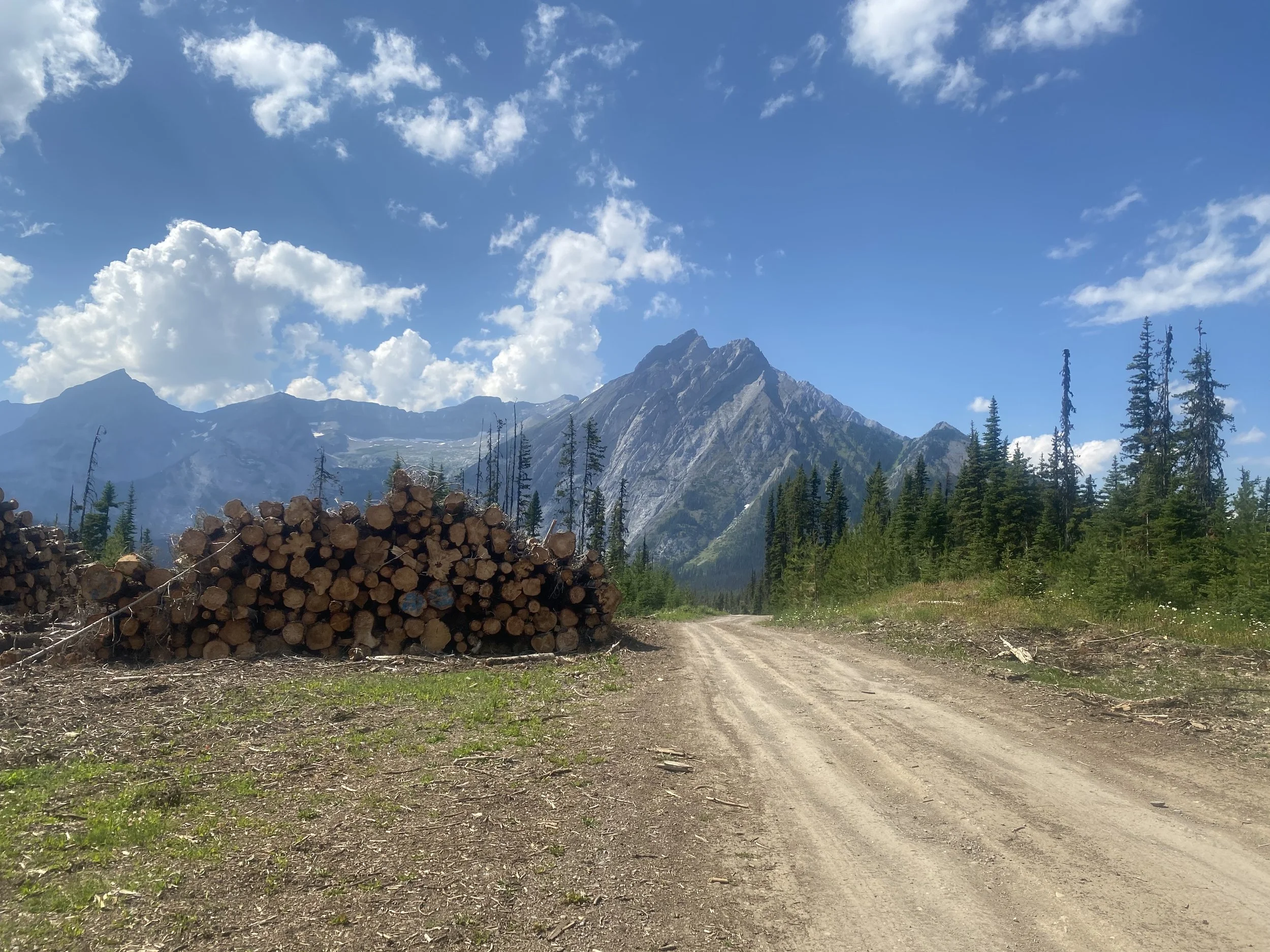
With a slightly lighter backpack, I started along the highway for the first 10 km. I then turned North onto a logging road which eventually led me to the ATV track. It was a hot and sunny day. My anxiety was starting to build with every step away from civilization.
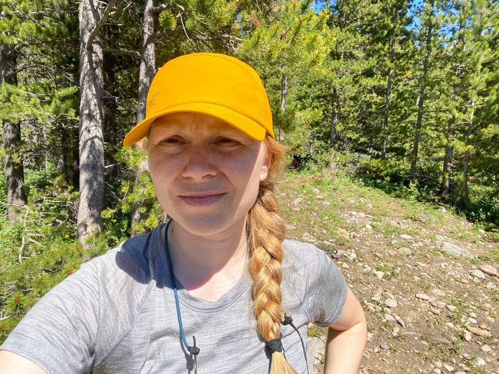
Feeling anxious heading out on Section B of the Great Divide Trail.
I followed the GPS track from the Great Divide Trail Association to find the start of the High Rock Trail alternate (will likely be the main route in 2021).

A trail marker at the beginning of the High Rock Alternate Route.
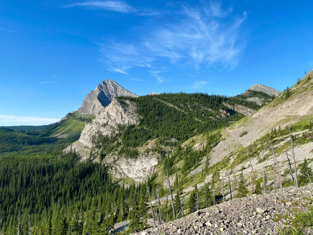
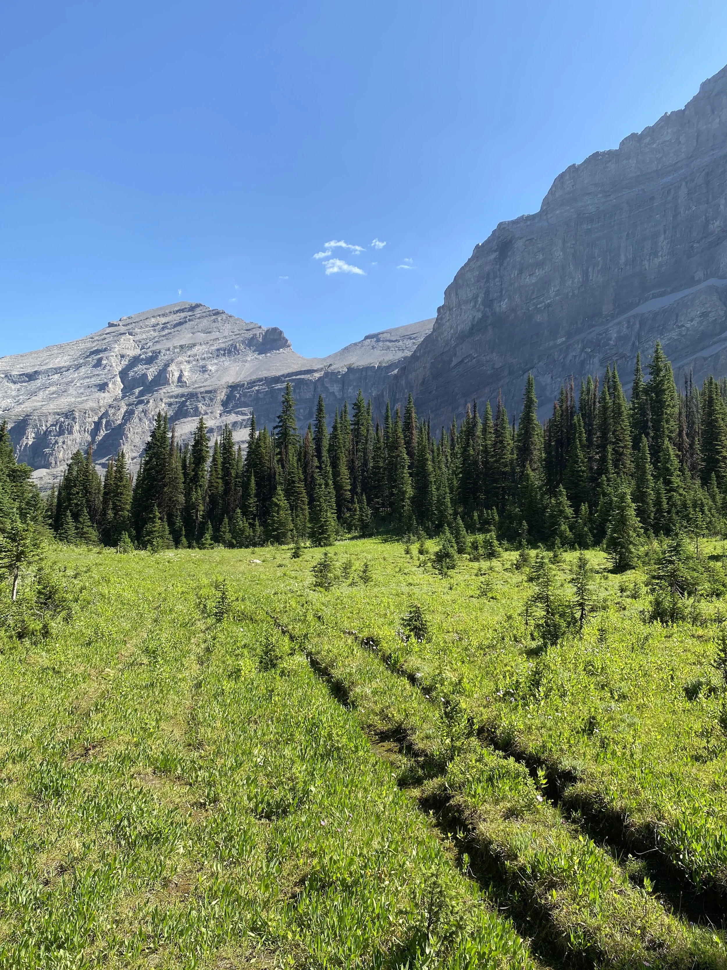
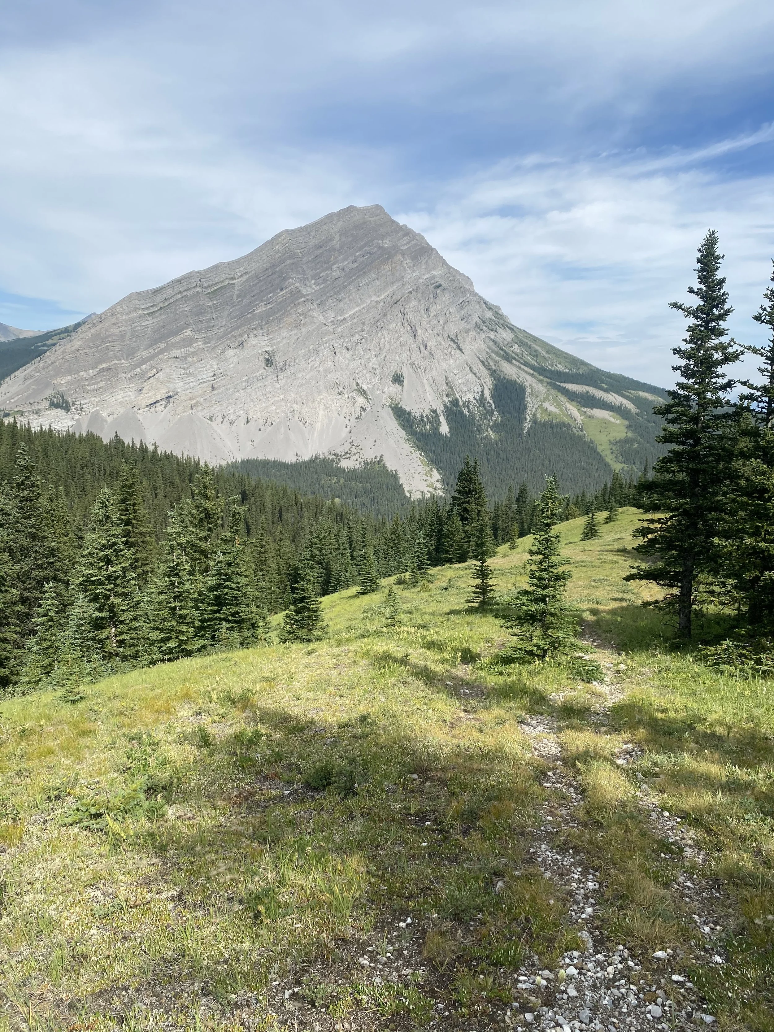
The High Rock Trail started climbing over the next couple kms into the alpine. Once I gained past tree line the anxiety I was struggling with all morning started to melt away. The views were absolutely phenomenal and this trail is a MASTERPIECE! I thoroughly enjoyed hugging contour line at the base of a cathedral of mountains.
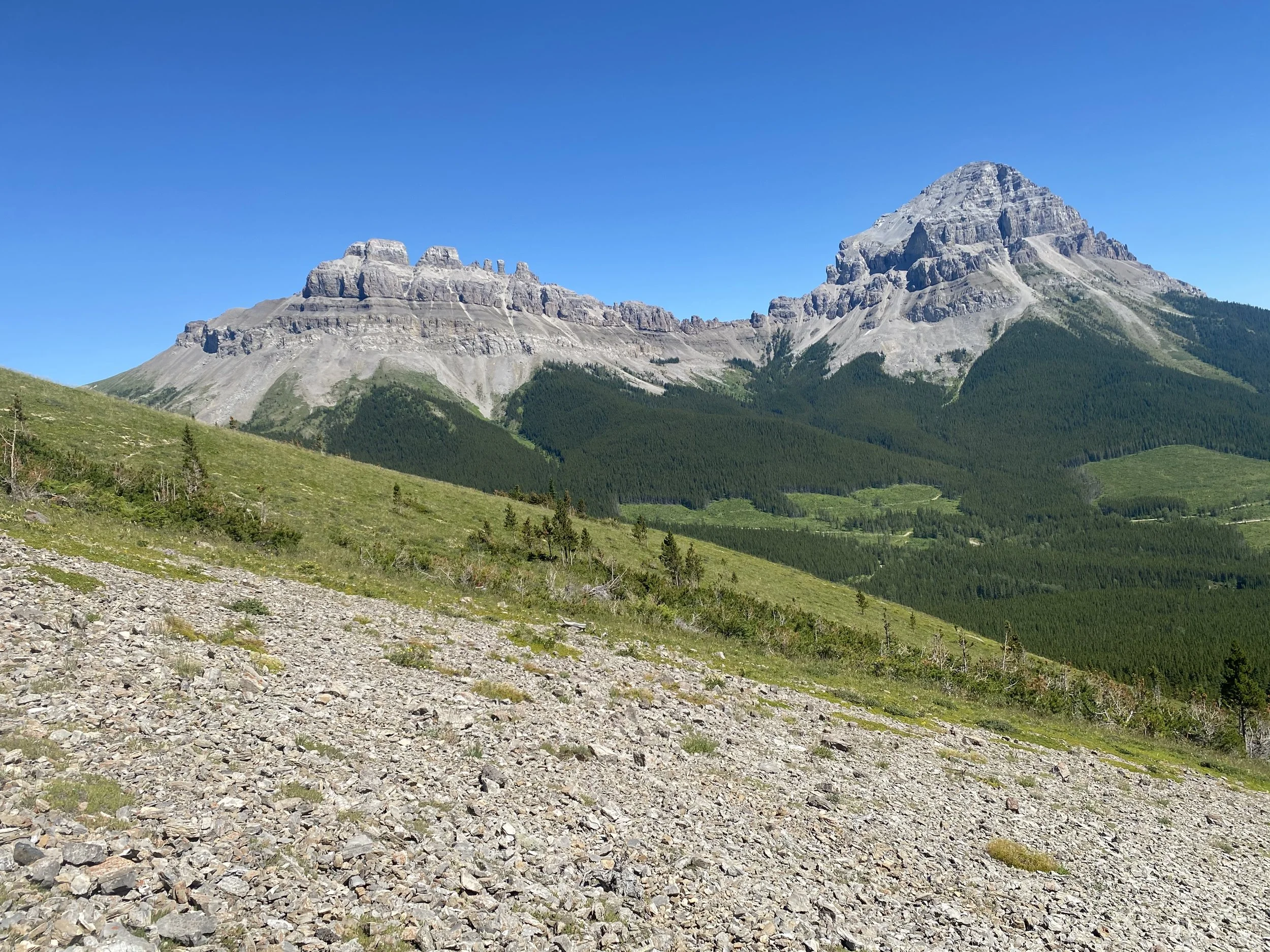
Views from the start of the alpine section of the High Rock Trail.
The High Rock Trail utilizes some old ATV tracks.
The mountain landscape started to calm my anxiety.

The sun started to set as I continued to gain towards Window Mountain Lake.
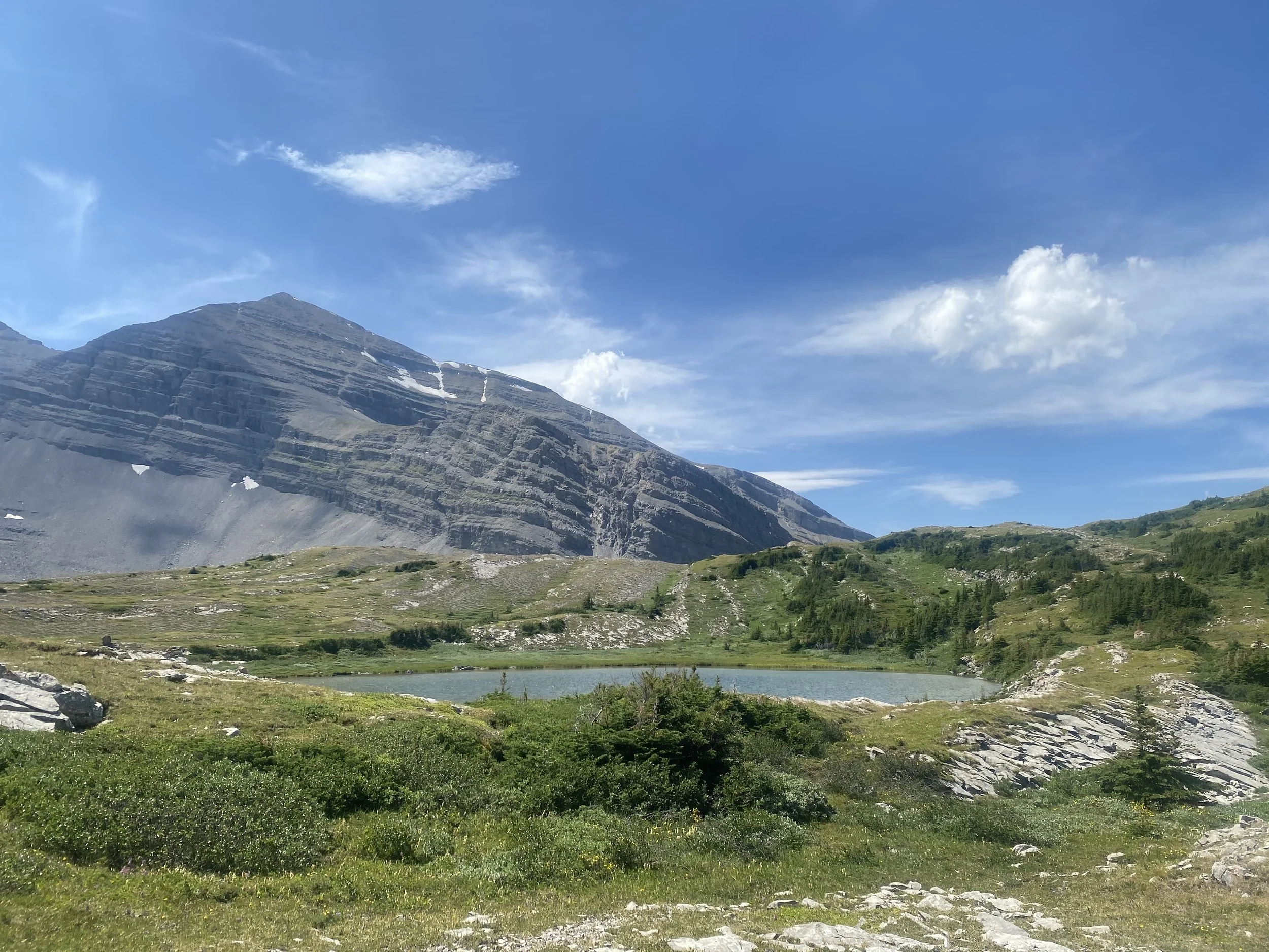
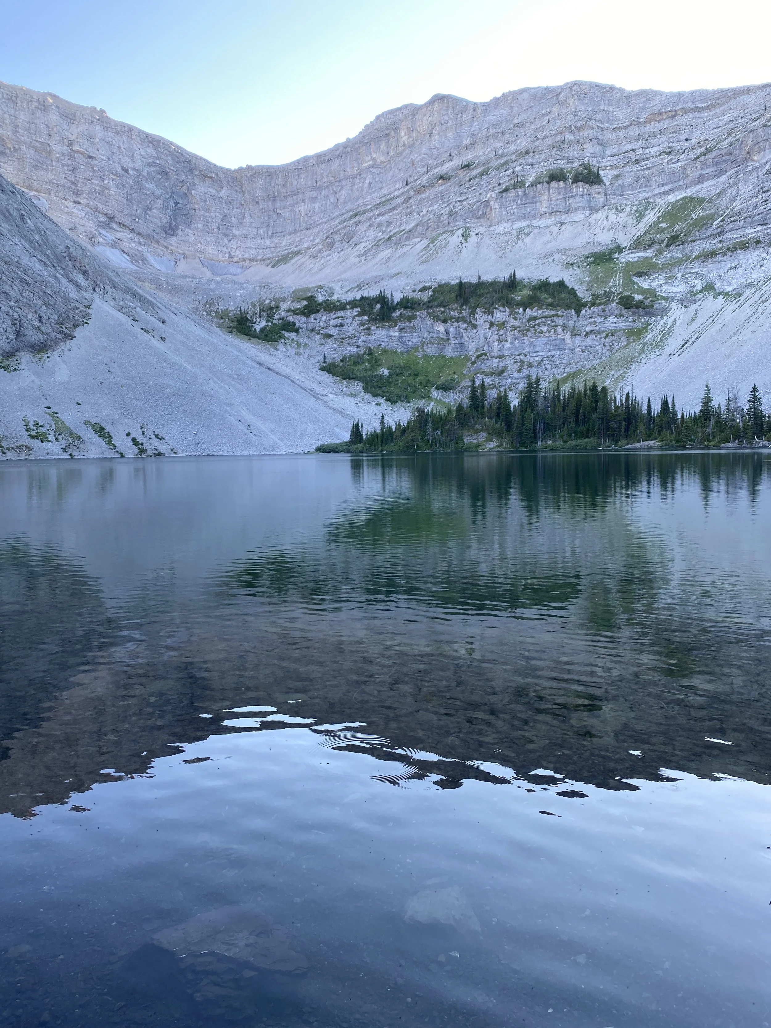
There were two small water sources along trail. The trail utilized some ATV track but was mostly single track. Eventually the trail starts to gain the saddle to Window Mountain Lake; the most stunning camp spot yet. I ended up here all on my own and the solitude was magical. The bugs were pretty bad here, but I didn’t mind.
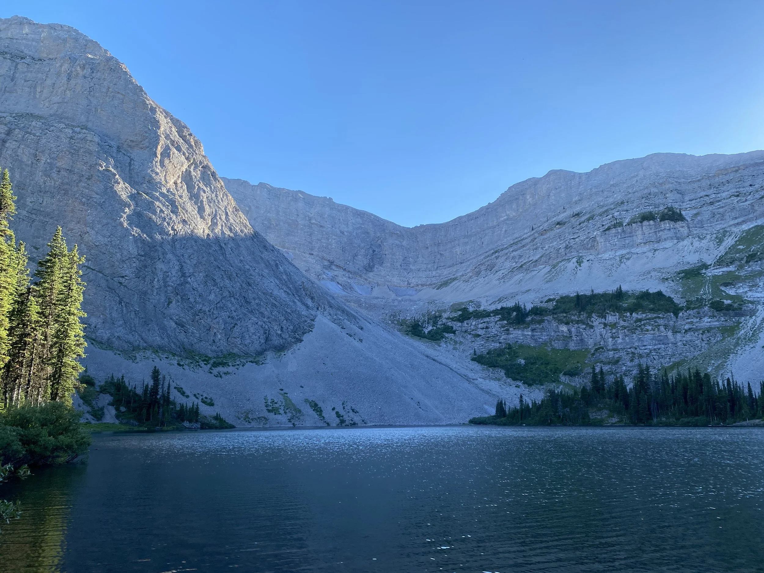
Window Mountain Lake is an incredibly magical place.
Day 8: 30 km
High Rock Trail alternate from Window Mountain Lake to Dutch Creek

Sunrise at Window Mountain Lake.
I must admit, today was the first day I truly enjoyed being on trail. This trail truly is a masterpiece. The switchbacks were lovely and the views phenomenal. I would highly recommend taking this alternate.
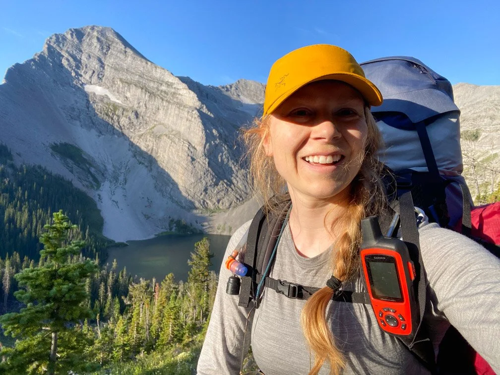
On the ridge above Window Mountain Lake.
I made an early start from Window Mountain Lake. I quickly gained the ridge above Window Mountain Lake on a nicely laid out trail. After the ridge, the trail drops down to an ATV track with no trail markings. I followed the GPS route and eventually got to the ATV track. I then followed the ATV track around contour line to the NE. The trail leaves the ATV track in a couple kilometers. This climb started off well with switchbacks, but eventually went straight up to the saddle. The trail was loose talus and very hard to get footing with a large backpack.
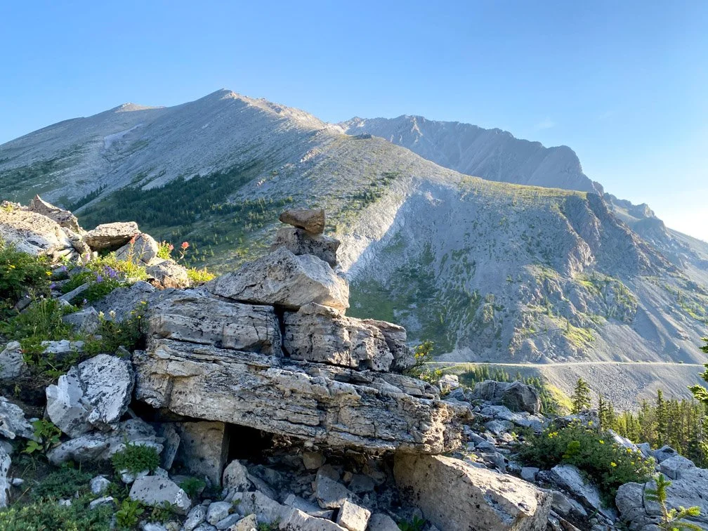
A cairn marking the trail right before dropped down to the ATV track in the distance.
The view from the climb up the technical saddle.
Dropping down from the saddle was equally technical. The trail eventually enters trees and becomes more manageable. There was a nice water source in the valley before climbing to the next saddle.

A beautiful water source once dropped down from the saddle.
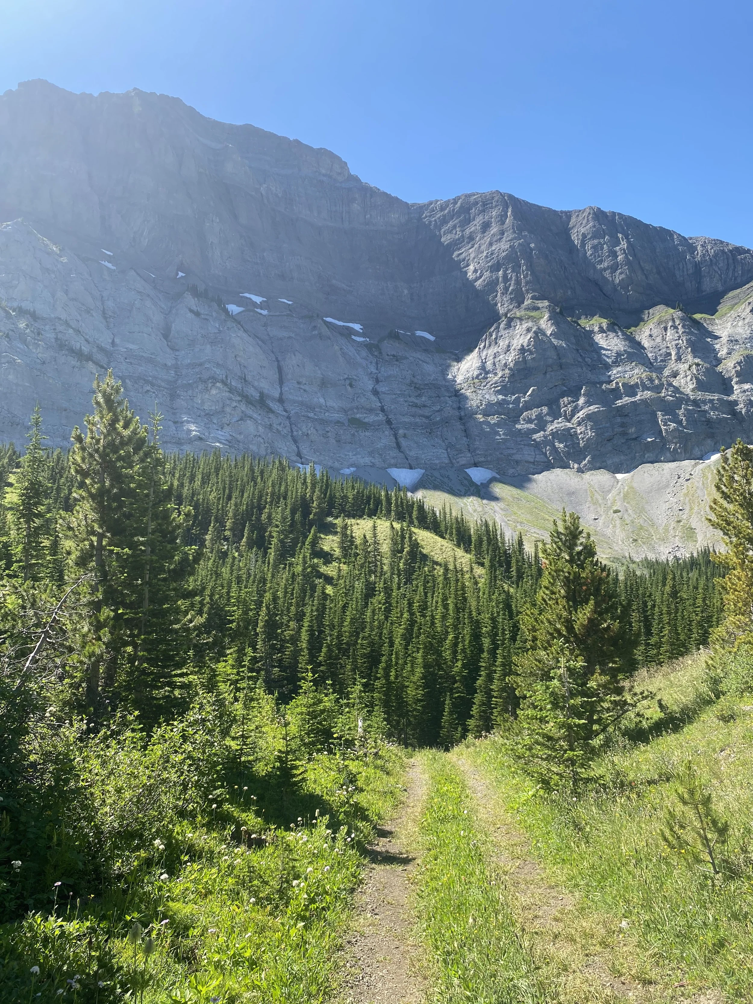
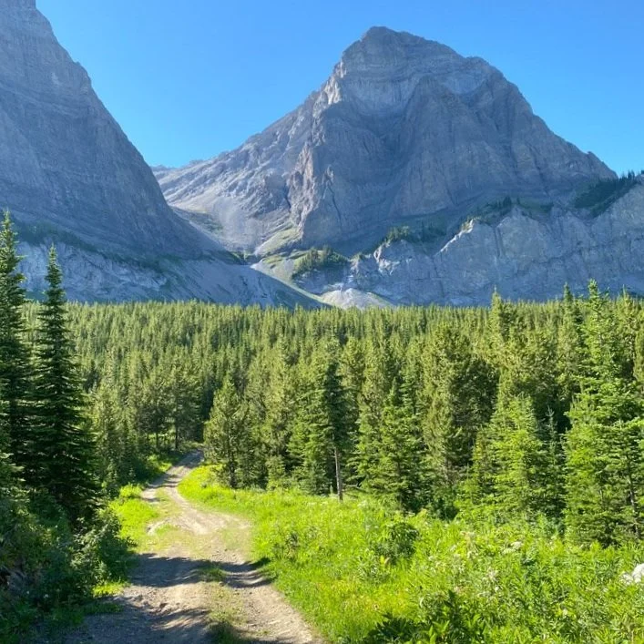
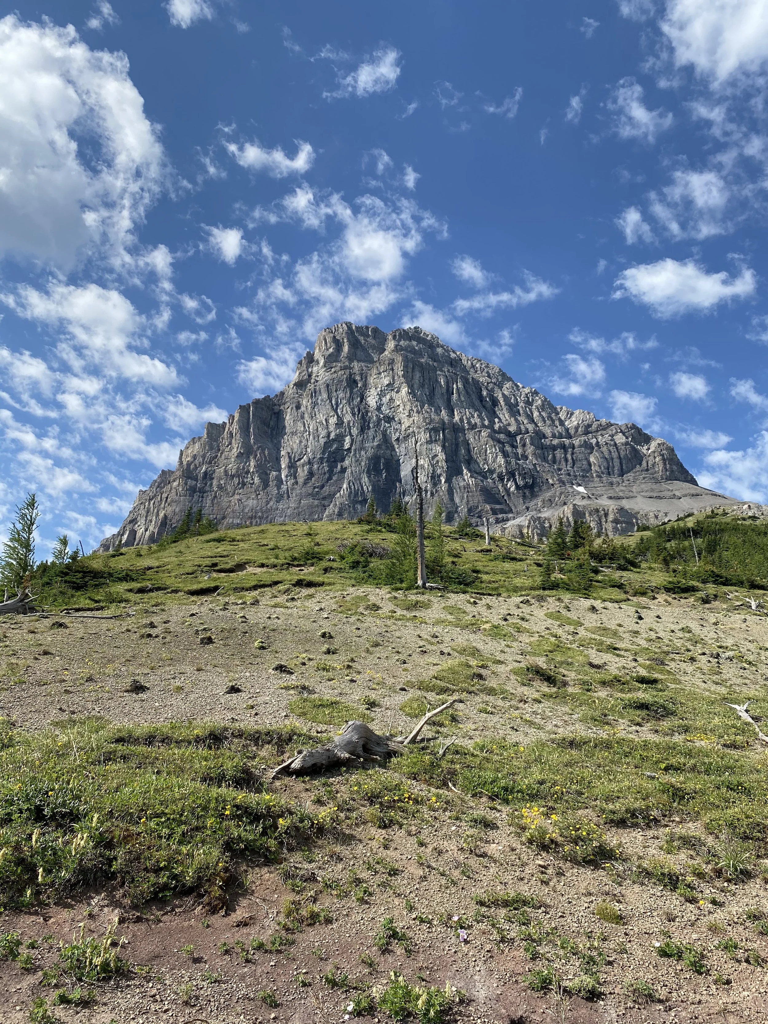
This climb was superb. With beautiful switchbacks that made the climb feel much easier. Once you drop down from the saddle into the next valley you are rewarded with epic views of the head wall. This is a great stop for food and water!
Another set of switchbacks leads to the next ridge to gain before gently dropping down to North Racehorse Creek. This is a nice spot to camp close to the river.
From the river, I then climbed through forest to gain the next ridge line. The trail is a bit spottier on this ridge, as it’s fresher, but still able to follow quite well. This drops to another water source and another good potential spot for camping.
I pressed on and climbed the next 5 km of logging road. A couple kilometers up the climb I saw a brown, furry face looking at me from a couple hundred meters away. I thought it could be a grizzly cub, so paused and pulled out one of my bear bangers. As soon as I deployed the bear banger the animal sprinted away. I saw its tail as it ran away and it was bushy. In discussions with other hikers later I realized it was a wolverine!
I decided to camp at the junction of the HRT and the GDT. There is a water source here, but it’s not great for camping. I just couldn’t push the extra 3-5 km to Dutch Creek tonight. I did manage to find a hidden little spot to pitch my tent in the forest just south of the creek.
Today was a good day.
Day 9: 28 km
Dutch Creek to Cache Creek
I had a very tough time getting out of bed this morning. I think I was dreading hiking, knowing it was going to be a hard day. But sleeping in does not make it easier!!!
I packed up quickly and hit the road. It was road walking for the first 3 km and a steady climb. The road turned into ATV track as I climbed all the way to Dutch Creek. No signs of anyone. Kept climbing up to the saddle and had to skirt around some fallen brush. This was very difficult bushwhacking for about half a kilometer.
The trail exits tree line into a beautiful alpine meadow then starts to climb to the next saddle. I startled a moose at one point which was equal parts cool and equal parts scary.
Gaining into the first alpine meadow.
I was feeling lonely and sluggish and had a bit of an emotional time picking my way through the subalpine. It didn’t help that the trail was hard to follow.
My spirits were lifted when I saw two hikers slowly making their way down from the saddle. We crossed paths and had a lively discussion about the hike, the trail and their 3-day trip. I was so relieved to see other humans as I hadn’t seen a soul since I left Coleman.
I dropped steeply down from the scree-filled saddle into subalpine and then forest. The trail becomes easy to follow here with lots of orange marked cairns and trees. The trail drops to a logging road which I followed only briefly and then dips into the forest again. A long gradual descent brings you down to Hidden Creek. A nice spot for camping.
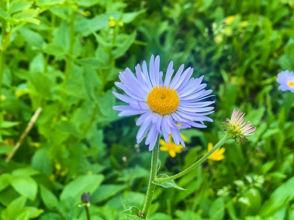
The wildflowers were absolutely beautiful along the Great Divide Trail.
The trail turns left at Hidden Creek and over a beautiful bridge. I stopped here for food and another cry. I was really feeling the emotional effects of so many days hiking alone in a row.
After another km of road walking the trail starts to climb up the ridge. I ran into another solo hiker called Tea on her way South. I thought I recognized her from her YouTube video of her and her husband’s yo-yo of the GDT last year. She was lovely and having so much fun! This really helped pick my spirits up for the end of my day. She assured me I would be at camp before sunset. Relief!!
The trail was well marked and had nice switchbacks going up. The ridge just had a sprinkle of subalpine before dropping down into forest on the other side. I saw a water bottle that I thought might be Avocado’s (another solo fellow thru-hiker) but didn’t want to grab it in case it was Tea’s.
On the way down, I was yelling out “HELLO” to scare off the bears. Avocado heard me and stopped for me to let me catch him. It was glorious to hike the last 0.5 km together and hear how the HRT went for us both. We both realized the bottle I saw at the top of the ridge was his. Shoot!!
Camp set up felt more relaxed knowing I’m not camping alone. Literally the first time this has happened all trip! What a luxury!
Day 10: 22 km
Cache Creek to High Rock Campsite
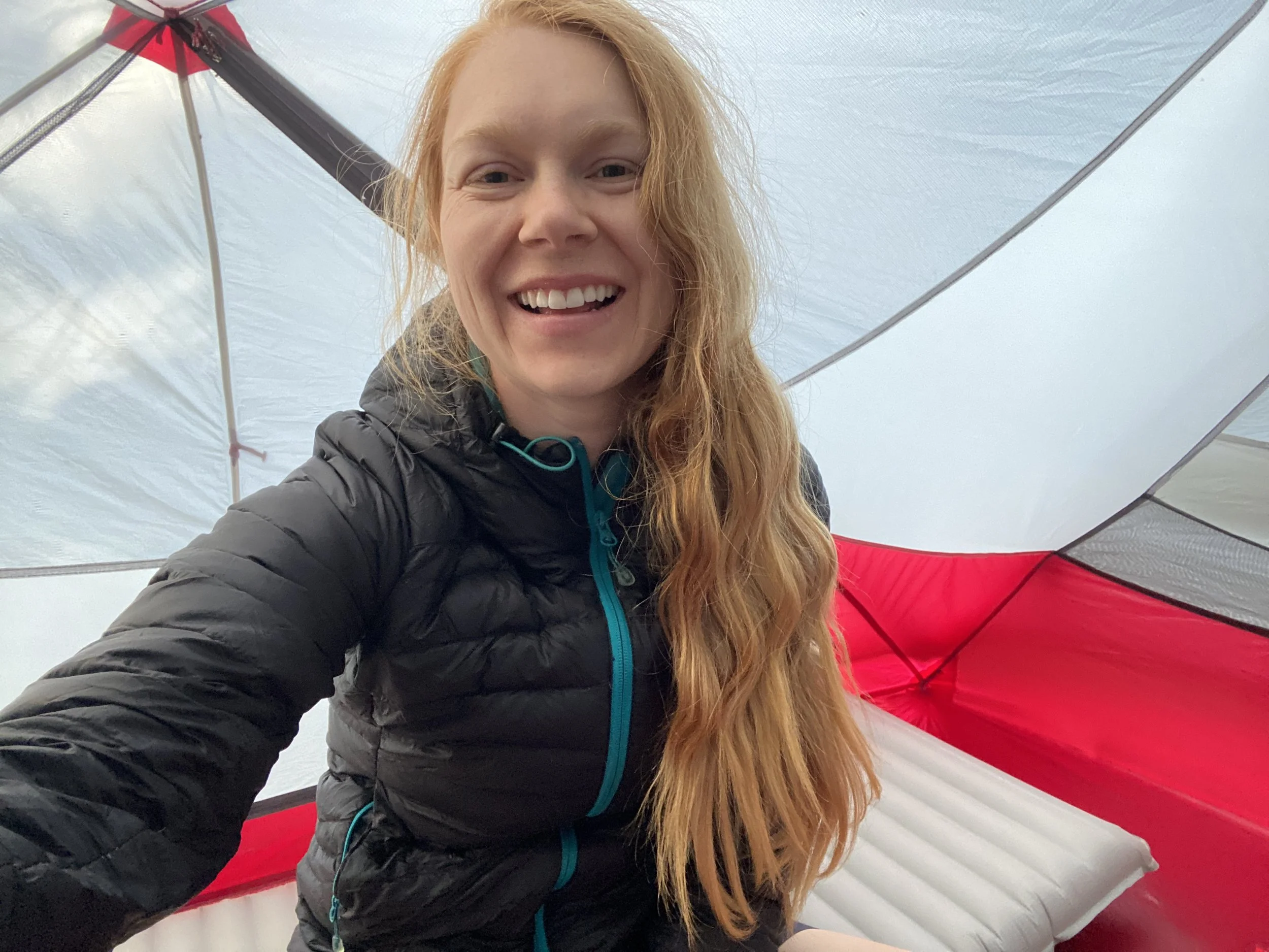
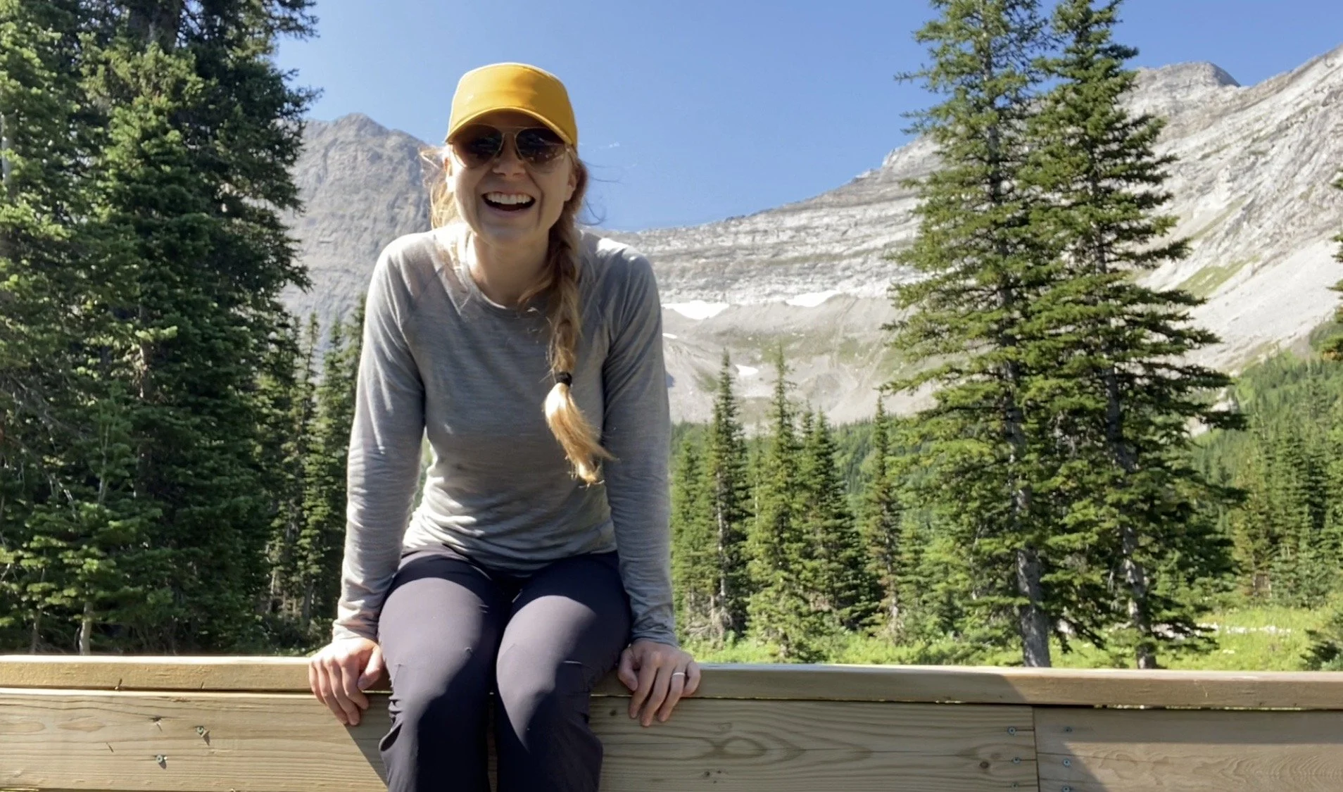
Krysta happy in her MSR tent at Cache Creek.
Avocado woke up early to climb back to the ridge to retrieve his water bottle. I got going before he got back to camp. The climb out of camp was about 400m of switchbacks. It pops out into the alpine and the views of the divide through the alpine meadows were breathtaking. There were lots of little water sources throughout the day. INCREDIBLE VIEWS!
Beautiful views in the alpine on the Great Divide Trail.
After some undulations in the alpine, I dropped back down into forest. The clouds moved in at this point. The trail is easy to follow in the forest and has nice grading. The trail joins onto an old logging road which again, is well marked. I then climbed the road for a bit and then noticed a clear trail sign to dip back into the forest.

An alpine wetland along the route today.
A bit more climbing through the trees, a dip back down into a meadow and another climb back up. Lots of bear scat here so I was yelling a lot!
The trail drops slightly for a half km before High Rock camp. The camp is obvious and well set up. The only issue is the HUGE number of mosquitoes vying for my blood.
I got into flow state today and was able to get lost in thoughts. I’m really starting to get the hang of this thru-hiking thing.
Day 11: 27 km
High Rock Camp to Etherington Creek
The mosquitoes drove me out of the camp spot. They were merciless.
It was flow state immediately this morning. The trail being easy to follow has opened me up mentally to process more.
Alpine beauty.
A short climb away from High Rock Camp brought me through some lush mountain meadows and away from the mosquitoes. The morning consisted of mostly hiking through forest. Then the trail breaks out of the trees onto a beautiful saddle. Then back down into the trees again.
You stay on this ridge for 5-6 km before dropping down into the next valley. This is a nice spot to camp with a beautiful bridge. I ran into Avocado here while he was breaking and refilling water. I stopped as well.
We ate together and started hiking together. We climbed 350 vertical meters through the trees over a few kms. We burst out of the trees onto an alpine ridge and the views were out of this world phenomenal!! The mountain range was staring at us and we were in this expanse of green alpine field. Thanks for the photos Avocado!
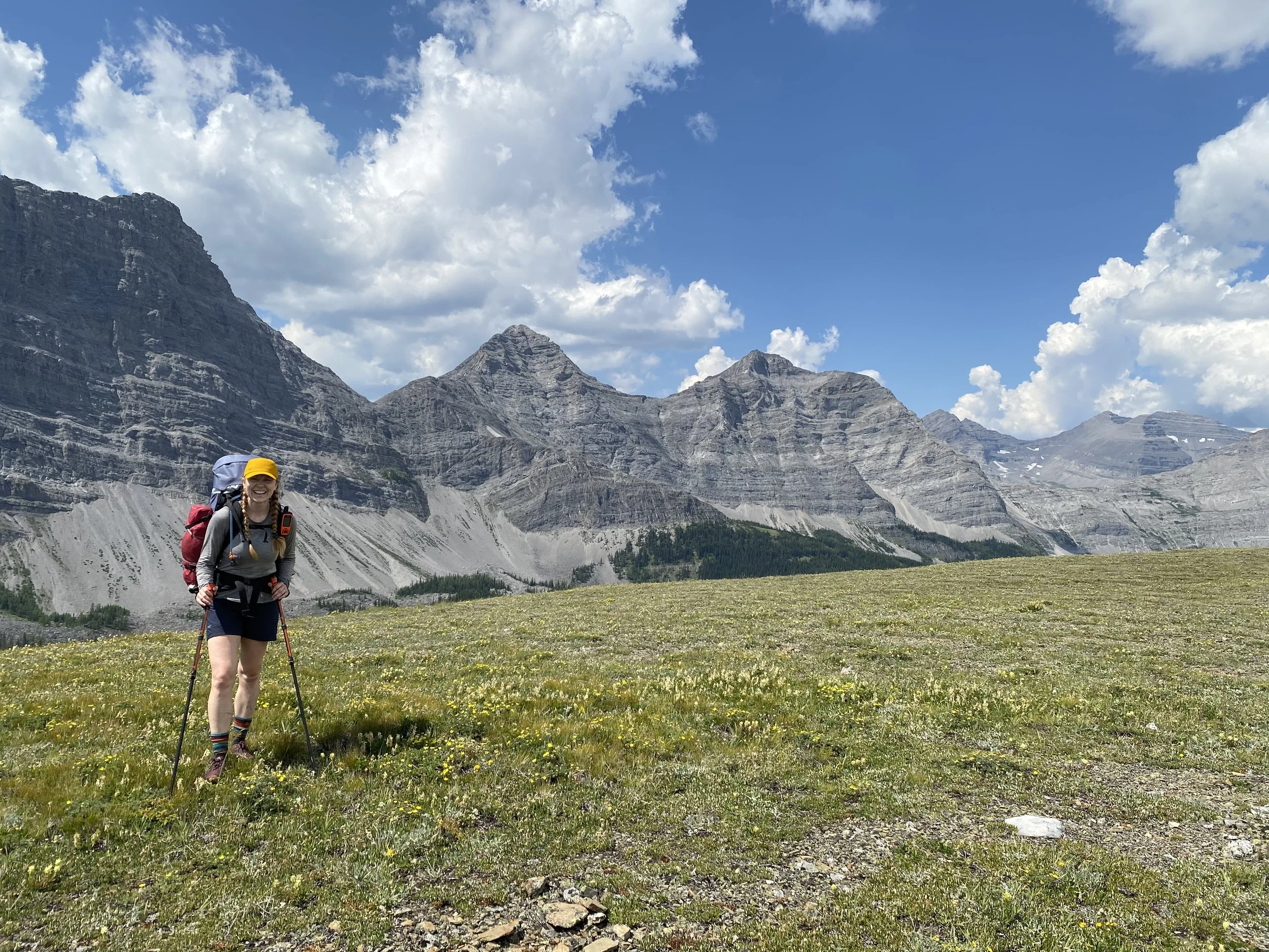
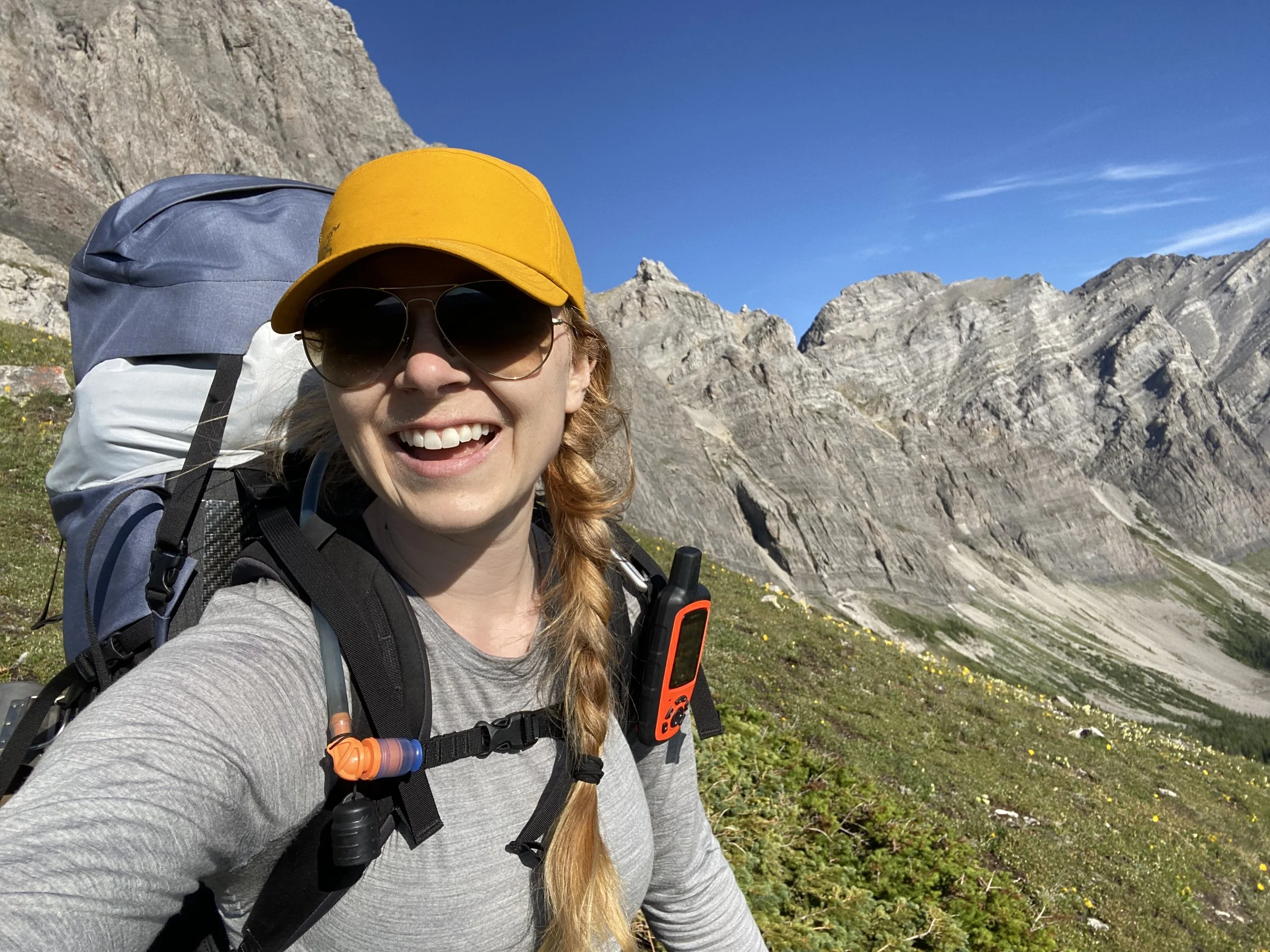
Krysta on the Great Divide Trail.

Krysta happy in the alpine.
We stayed on this ridge for 2 km before dropping down into the trees. We dropped 300 m and refilled water at Cataract Creek. We then gained 150-200 m through old roads onto a small ridge before dropping back down to Etherington Creek, our home for the evening.
My body has seemed to finally adapt to walking 20-30 km daily. The only spots that are bothering me are the raw spot on my left heel and my two collarbones where my pack sits. Otherwise I feel strong and good!
Day 12: 22 km
Etherington Creek to Aldrige Creek
I had a leisurely breakfast as I didn’t anticipate a difficult day. Coffee and wraps with peanut butter. Avocado got going early.
The first part of the hike was relatively cruisey. The trail then began to climb gently over 2 km before dropping back down 150 m to James Lake. There is a single log crossing here that can be intimidating if you don’t trust your balance.
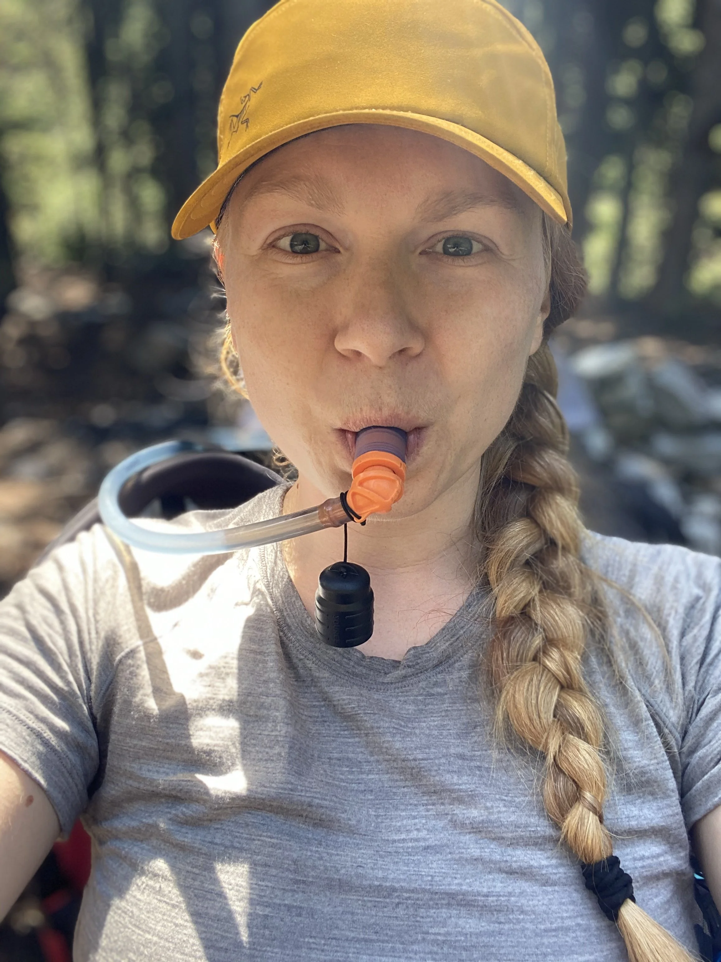
Trying to stay hydrated in the heat is difficult.
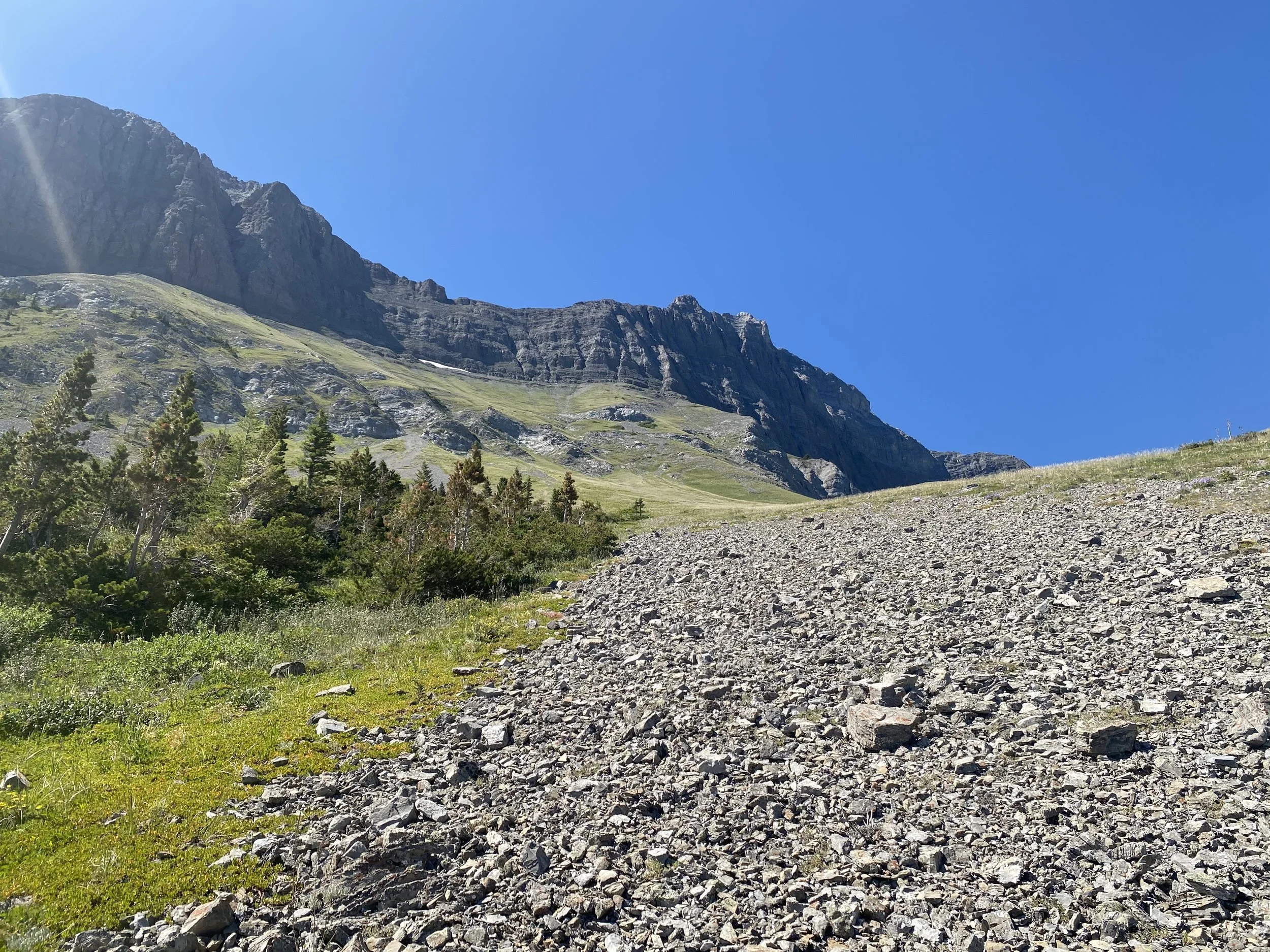
The trail then climbs steadily into the alpine. There is a stream not long after gaining the alpine. I stopped for lunch there. From there you gain another 150 m to Fording River Pass. Once at the pass, the trail disappears. There are no clear markings nor abundant cairns. I relied on my GPS, which allowed me to find the trail on the other side of the pass.
The trail down the other side of the pass seems to be on old logging road or ATV track. It isn’t marked and is overgrown in some sections. Again, I relied heavily on my GPS. The majority of the 10 km down to Aldridge Creek were descent. I half walked; half jogged my way down to Aldridge Creek. I was out of water and there were no promising sources over 10 km.
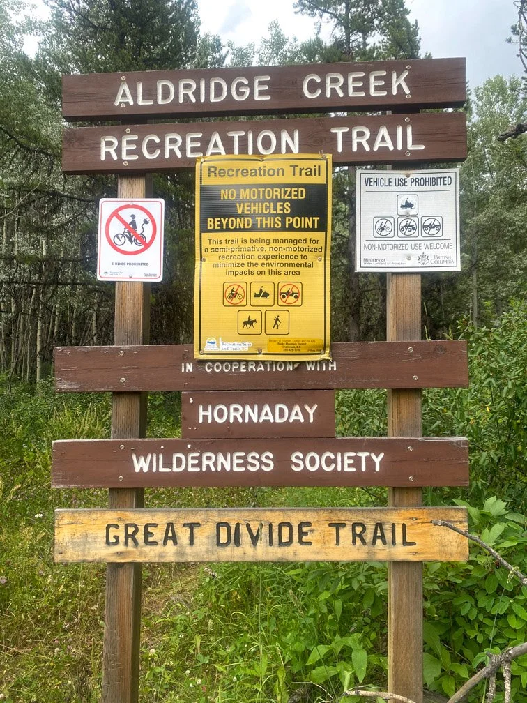
The Trailhead at Aldridge Creek.
Once in the river valley I caught up with Avocado. He and I forded the river 6 times in our hiking shoes. Until eventually he left me where Aldridge Creek crosses the logging road and flows under the power lines. I found a little hidden spot just off the road and out of sight of the group camping on the other side of the river. I had two bars of cell service so was able to call my husband.
Day 13: 30 km
Aldridge to Lower Elk Lake
I did not sleep well, so woke up very tired. I was definitely dreading putting on my wet socks and wet shoes. I eventually got my coffee made and attitude turned around. The road walking started off slow. I decided to stop and put my headphones in to have music help the time pass. It was honestly such a treat.
Even though it was a logging road all day, the views were still lovely.
The road is easy to follow and frequented by weekend warriors. I did about 600 m of climbing today. I had a bear encounter in the afternoon when a juvenile grizzly bear crossed the road 100 m in front of me. I lucked out that a car drove by and startled it into the woods away from me. I was noisier for the final few kilometers.
From the end of the logging road it’s a 1 km walk up to Lower Elk Lake. It is a beautifully maintained path and easy moving. People of various abilities could make it here! This does seem like a popular backcountry campground, likely due to ease of access. However, it’s a Sunday of a long weekend Monday and there were still a few free spots when I arrived around 4 pm. It’s $5 and you just pay at a self-serve station when you arrive. You need cash.
The beautiful Lower Elk Lake.
The swim in the lake is glorious, the view across the lake is spectacular and not having to hang a food rope is delightful. This has the feel of front country luxuries in a backcountry location. I was loving it!!
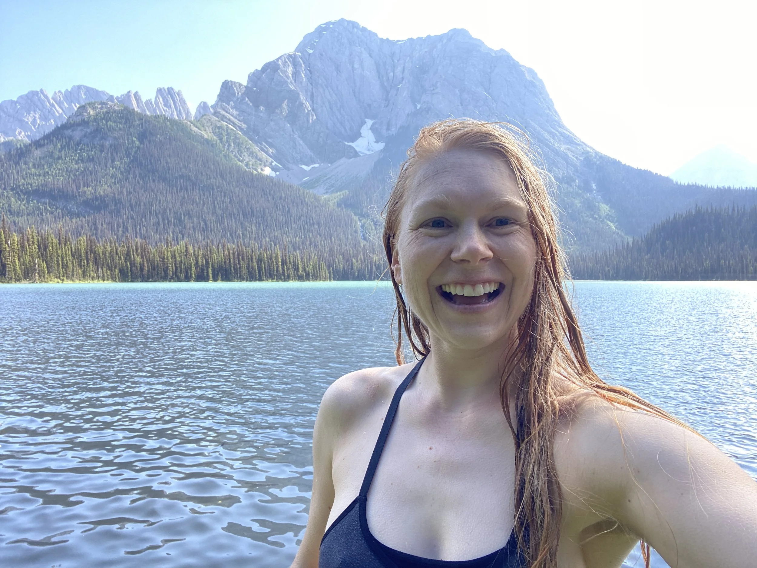
Krysta happy after a dip in Lower Elk Lake.
Day 14: 12 km
Lower Elk Lake to Kananaskis
It was the coldest morning yet on the GDT!
The hike along Lower Elk Lake was absolutely breathtaking. The reflection of the mountains in the smooth as glass water was magic.

The magical Lower Elk Lake in the morning.
After rounding the lakeshore, the trail was well marked and turned into single track. There was a slight amount of climbing through the forest until a few kms later the trail met with the TransRockies Trail, which is apparently a bikeable trail. It was a wide trail and easy walking. The rest of the hike was like this. A short dip and short climb and then all downhill for the last km.
Uncle Bob and Aunt Fay met me at the top of the hill with a chilled orange Gatorade! What gems!! I had been dreaming about orange Gatorade this entire hot section.
We stayed the night at Kananaskis Lodge, ate a big meal, caught up and I organized my resupply for section C.
Gallery
Equipment Used:
Tent: MSR Hubba Hubba
Backpack: Arc’teryx Bora AR 61 Backpack
Women’sHiking Shoes: Salomon Women’s Outbound Hiking Shoes
Sleeping Pad: Therm-a-Rest NeoAir XTherm MAX Ultralight
Sleeping Bag: Mountain Hardwear Lamina Synthetic Sleeping Bag -18C
Pillow: Sea to Summit Aeros Pillow
Garmin inReach
Gortex Jacket: Montane Women’s Alpine Pro Jacket
Down Jacket: Montane Women’s Phoenix Jacket
Smartwool Longsleeve
Smartwool Shortsleeve
Smartwool Underwear
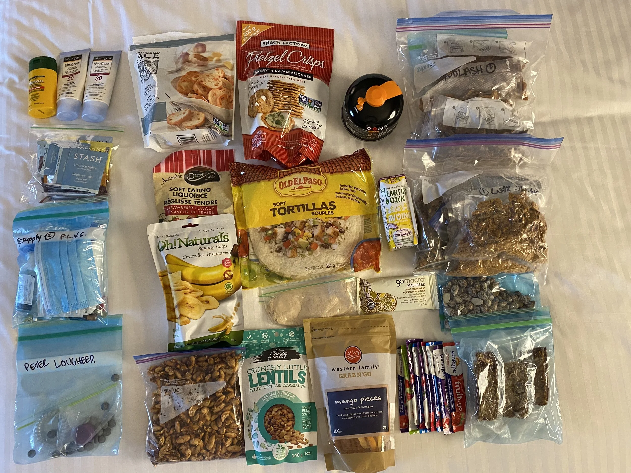
Fuel
Laundry Soap